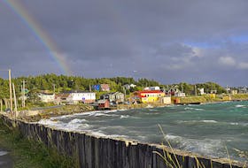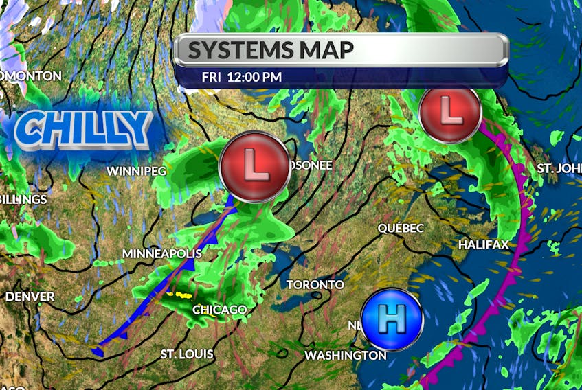
It looks like the first weekend of autumn will be rather unsettled. I wouldn’t rule out some sunny periods, especially on Saturday, but a slow-moving low over Labrador will keep clouds and showers close by. Temperatures have been seasonal but we’re about to experience a cool down. The Jet Stream has already dipped southward across western Canada and we too will soon see the cooler side of this upper air circulation. The leading edge of the cold front will move in on Sunday, bringing with it showers followed by a wind shift to the north Sunday night. In fact, flurries will work their way into Sunday’s weather forecast in Labrador City. The fresh north wind will stay with us through the early part of the week and the new month will get off to a chilly start. Time to locate your favourite fall sweater!

- Want more weather information? Visit your weather page.
- Have a weather question, photo or drawing to share with Cindy Day? Email [email protected]
Cindy Day is the chief meteorologist for SaltWire Network.